Building Technological Capacity in Indigenous Natural Resource Governance
About this Presentation
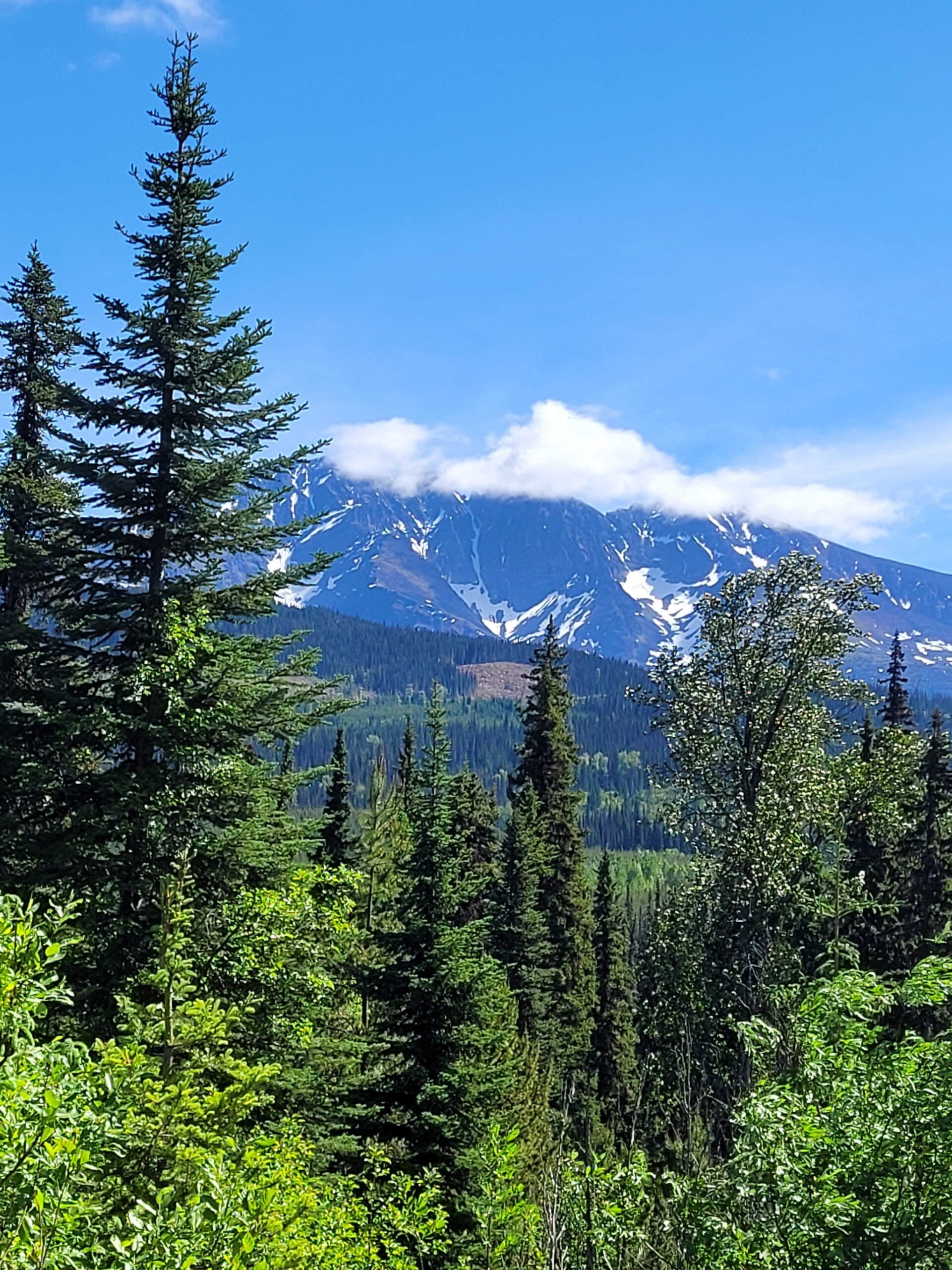
This seminar explores how the Wet’suwet’en manage their lands amid tensions between Western government systems and Indigenous ways of knowing. Using a method called counter-mapping, the OW Natural Resources Department developed technical skills in drone operations and mapping in order to challenge government-defined geographies and protect their territories.
There are three key elements essential for effective training: grounding efforts in community values, fostering sustainable technological capacity, and ensuring a balanced, respectful exchange of knowledge between Indigenous communities and researchers. Rayne will highlight these elements as applied to the original training in 2023 and a second workshop in June 2025. They will discuss how mapping data gathered via drones can be used to document and assess whether logging companies are maintaining required riparian buffers, as well as work to answer other community-directed questions with data that can support the Office of the Wet’suwet’en in monitoring the impacts on and the health of the yintah.
About the Presenter
Rayne Hawkins is a researcher, UAS pilot, logistics and GIS specialist at Florida State University. They have a B.Sc. in Environment & Society and a M.Sc. in Geography from FSU with a research focus on the intersection of traditional ecological knowledge, unmanned aircraft systems, and Indigenous capacity building in natural resource governance.
Using their experience as a member of a state-deployable resource for disaster response, Rayne is exploring ethical training methodologies in partnership with the Office of the Wet’suwet’en. This is their second visit and training session in the Bulkley Valley.